
Geographic analysis
Population & flood exposure by areaIDP population, flood-exposed people and assessment coverage — by region, district or catchment
Explore by region, district and catchment
Move from the national overview to district, catchment and site-level evidence.
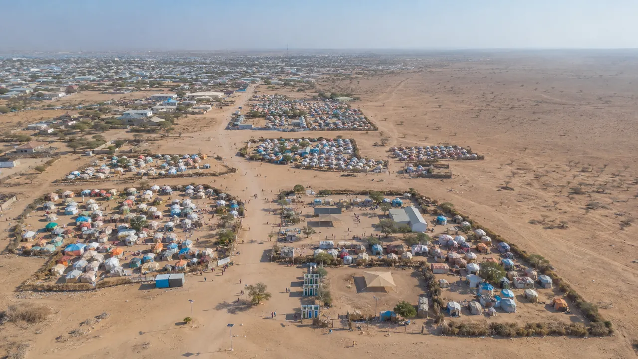
Illustrative context image. It does not represent the selected site or current field conditions.
Rivers & basins
Juba (segment)
Riverine district
Hover a catchment for agency & caseloadRiverine = Juba/Shabelle basin districts · river geometry limited to the provided Juba segment
56 districts · 16 riverine840,468 people at High/Extreme flood risk
| district | River | Sites | People | Flood-exposed | Assessed | Incidents |
|---|---|---|---|---|---|---|
| Baidoa | — | 1,671 | 782,149 | 309,818 | 24% | — |
| Mogadishu Dayniile | — | 1,091 | 673,727 | 1,824 | 0% | — |
| Daynile | — | 984 | 562,885 | 136,270 | 0% | — |
| Mogadishu Khada | — | 966 | 486,614 | 5,016 | 0% | — |
| Kahda | — | 874 | 356,425 | 22,978 | 0% | — |
| Kismaayo | Juba | 345 | 250,910 | 53,811 | 83% | 88 |
| Doolow | Juba | 5 | 139,418 | 0 | 100% | 4 |
| Bossaso | — | 22 | 131,075 | 5,653 | 0% | — |
| Gaalkacyo | — | 111 | 118,685 | 30,392 | 94% | — |
| Afmadow | Juba | 31 | 116,020 | 62,754 | 94% | — |
| Hargeysa | — | 21 | 109,320 | 0 | 0% | — |
| Cabudwaaq | — | 39 | 93,134 | 2,250 | 69% | — |
| Baardheere | Juba | 59 | 79,044 | 25,560 | 81% | 1 |
| Luuq | Juba | 50 | 65,815 | 17,564 | 74% | — |
| Garoowe | — | 25 | 55,836 | 6,162 | 0% | — |
| Belet Weyne | Shabelle | 133 | 54,023 | 35,941 | 68% | 9 |
| Ceel Barde | — | 18 | 46,020 | 27,810 | 0% | — |
| Cadaado | — | 10 | 44,936 | 10,536 | 0% | — |
| Xudur | — | 91 | 44,311 | 11,939 | 2% | — |
| Laas Caanood | — | 26 | 37,975 | 11,425 | 0% | — |
| Balcad | Shabelle | 5 | 33,600 | 0 | 40% | 2 |
| Dhuusamarreeb | — | 49 | 33,236 | 4,098 | 0% | — |
| Jowhar | Shabelle | 23 | 32,430 | 20,325 | 61% | — |
| Borama | — | 8 | 30,042 | 0 | 0% | — |
| Afgooye | Shabelle | 27 | 25,788 | 0 | 19% | — |
| Belet Xaawo | Juba | 17 | 23,435 | 3,390 | 76% | 13 |
| Qansax Dheere | — | 25 | 22,920 | 0 | 0% | — |
| Marka | Shabelle | 11 | 20,242 | 0 | 0% | — |
| Qardho | — | 12 | 19,784 | 4,045 | 0% | — |
| Diinsoor | — | 31 | 19,139 | 1,237 | 19% | 8 |
| Lughaye | — | 8 | 17,100 | 0 | 0% | — |
| Ceerigaabo | — | 9 | 16,160 | 0 | 0% | — |
| Taleek | — | 4 | 14,946 | 0 | 0% | — |
| Burco | — | 5 | 14,560 | 4,560 | 0% | — |
| Laasqoray | — | 12 | 14,432 | 0 | 0% | — |
| Owdweyne | — | 12 | 14,378 | 0 | 0% | — |
| Waajid | — | 17 | 14,034 | 8,118 | 0% | — |
| Ceel Afweyn | — | 6 | 13,422 | 2,622 | 0% | — |
| Ceel Waaq | — | 9 | 12,426 | 0 | 0% | — |
| Garbahaarey | Juba | 12 | 12,220 | 3,300 | 100% | — |
| Caynabo | — | 7 | 11,900 | 900 | 57% | — |
| Buuhoodle | — | 15 | 9,400 | 0 | 0% | — |
| Galdogob | — | 13 | 8,666 | 0 | 0% | — |
| Baraawe | Shabelle | 9 | 8,112 | 0 | 0% | — |
| Baki | — | 4 | 4,872 | 612 | 0% | — |
| Jamaame | Juba | 6 | 4,856 | 4,400 | 67% | — |
| Bulo Burto | Shabelle | 2 | 4,500 | 0 | 0% | 1 |
| Buur Hakaba | — | 4 | 3,530 | 1,050 | 0% | — |
| Jalalaqsi | Shabelle | 7 | 3,490 | 3,490 | 0% | — |
| Xudun | — | 5 | 2,349 | 0 | 0% | — |
| Sheikh | — | 3 | 1,800 | 0 | 0% | — |
| Wanla Weyn | — | 2 | 1,200 | 0 | 0% | — |
| Hobyo | — | 2 | 776 | 0 | 0% | — |
| Badhaadhe | — | 1 | 618 | 618 | 0% | — |
| Zeylac | — | 1 | 600 | 0 | 0% | — |
| Berbera | — | 1 | 594 | 0 | 0% | — |
Riverine districts sit on the Juba or Shabelle — Somalia's flood-prone perennial rivers. Assessment coverage is the share of a unit's sites with a service-mapping record; a low value means the need is unknown, not met. Incident counts (district level) are joined by resolving incident p-codes to district names.